Geolocate

Delphi topographic map

Click on the map to display elevation.

About this map

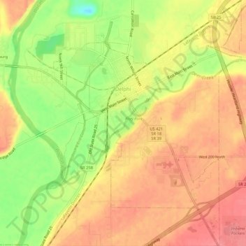
Name: Delphi topographic map, elevation, terrain.

Location: Delphi, Carroll County, Indiana, 46923, United States (40.56189 -86.68996 40.60200 -86.64955)

Average elevation: 179 m

Minimum elevation: 132 m

Maximum elevation: 207 m

Other topographic maps

Click on a map to view its topography, its elevation and its terrain.

Cutler

United States > Indiana > Carroll County

Average elevation: 223 m

Burrows

United States > Indiana > Carroll County

Average elevation: 213 m

Gear up for your next adventure:

👟Heavy Duty Boot Laces - Always carry a spare for your hiking footwear
🎒Hiking Daypacks - Compact backpacks ideal for short hikes and excursions
🕶️Glacier Goggles - Maximum protection for high-altitude snow topography
🥾Walking Shoes - Lightweight walking shoes for countryside and coastal paths
🔋Rechargeable Batteries - Eco-friendly power for headlamps and older GPS units

As an Amazon Associate, this site earns from qualifying purchases at no extra cost to you.