
Thame topographic map
Interactive map
Click on the map to display elevation.
About this map
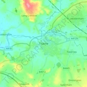
Name: Thame topographic map, elevation, terrain.
Location: Thame, Oxfordshire, South East, England, OX9, United Kingdom (51.70827 -1.01818 51.78827 -0.93818)
Average elevation: 78 m
Minimum elevation: 57 m
Maximum elevation: 143 m