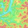
Quick topographic map
Click on the map to display elevation.
About this map
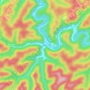
Name: Quick topographic map, elevation, terrain.
Location: Quick, Kanawha County, West Virginia, United States (38.35260 -81.42206 38.39260 -81.38206)
Average elevation: 315 m
Minimum elevation: 197 m
Maximum elevation: 431 m
Other topographic maps
Click on a map to view its topography, its elevation and its terrain.
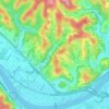
Charleston
United States > West Virginia > Kanawha County
Charleston has a four-season humid subtropical climate (Köppen Cfa) with continental climate (Dfa) elements. Especially in winter, Charleston's average temperatures are warmer than the rest of the state, due to the city being west of the higher elevations. Spring is the most unpredictable season, and…
Average elevation: 264 m
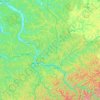
Kanawha River
United States > West Virginia > Kanawha County
The Kanawha River lends its name to a major geological section of the Appalachian Highlands physiographic region of the United States called a physiographic region. A physiographic region is a large portion of land that is grouped by several factors. Each region has similar geology, topography, and groups of…
Average elevation: 280 m

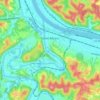
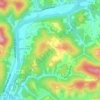

Charleston
United States > West Virginia > Kanawha County
Charleston has a four-season humid subtropical climate (Köppen Cfa) with continental climate (Dfa) elements. Especially in winter, Charleston's average temperatures are warmer than the rest of the state, due to the city being west of the higher elevations. Spring is the most unpredictable season, and…
Average elevation: 264 m
Charleston
United States > West Virginia > Kanawha County
Charleston has a four-season humid subtropical climate (Köppen Cfa) with continental climate (Dfa) elements. Especially in winter, Charleston's average temperatures are warmer than the rest of the state, due to the city being west of the higher elevations. Spring is the most unpredictable season, and…
Average elevation: 264 m

Charleston
United States > West Virginia > Kanawha County
Charleston has a four-season humid subtropical climate (Köppen Cfa) with continental climate (Dfa) elements. Especially in winter, Charleston's average temperatures are warmer than the rest of the state, due to the city being west of the higher elevations. Spring is the most unpredictable season, and…
Average elevation: 264 m