
车村镇 topographic map
Interactive map
Click on the map to display elevation.
About this map
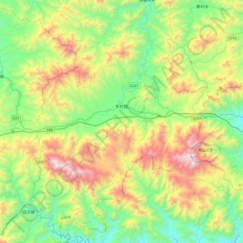
Name: 车村镇 topographic map, elevation, terrain.
Location: 车村镇, 嵩县, 洛阳市, 河南省, 中国 (33.64015 111.83157 33.90597 112.27831)
Average elevation: 968 m
Minimum elevation: 384 m
Maximum elevation: 2,103 m