
Tamakoshi topographic map
Interactive map
Click on the map to display elevation.
About this map
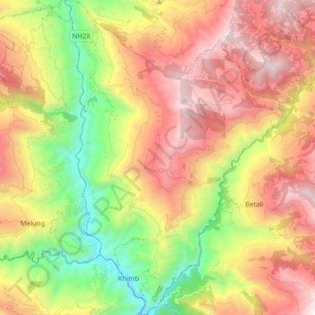
Name: Tamakoshi topographic map, elevation, terrain.
Location: Tamakoshi, Dolakha, Bagmati Province, Nepal (27.47388 86.07524 27.61223 86.18612)
Average elevation: 1,528 m
Minimum elevation: 584 m
Maximum elevation: 2,514 m
Other topographic maps
Click on a map to view its topography, its elevation and its terrain.