
白麦村 topographic map
Interactive map
Click on the map to display elevation.
About this map
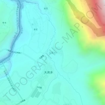
Name: 白麦村 topographic map, elevation, terrain.
Location: 白麦村, 丽江市, 云南省, 中国 (27.29041 100.23200 27.33041 100.27200)
Average elevation: 1,868 m
Minimum elevation: 1,584 m
Maximum elevation: 3,067 m
Other topographic maps
Click on a map to view its topography, its elevation and its terrain.