
La Ensenada topographic map
Interactive map
Click on the map to display elevation.
About this map
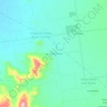
Name: La Ensenada topographic map, elevation, terrain.
Location: La Ensenada, Sayán, Province of Huaura, Lima, Peru (-11.26115 -77.39384 -11.22115 -77.35384)
Average elevation: 423 m
Minimum elevation: 366 m
Maximum elevation: 635 m