
Maynaguri topographic map
Interactive map
Click on the map to display elevation.
Maynaguri
Mainaguri is located at 26°34′N 88°49′E / 26.57°N 88.82°E / 26.57; 88.82. It has an average elevation of 84 metres (275 feet).
About this map
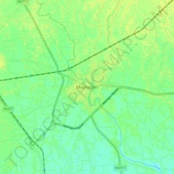
Name: Maynaguri topographic map, elevation, terrain.
Location: Maynaguri, Jalpaiguri District, West Bengal, 735224, India (26.52539 88.78207 26.60539 88.86207)
Average elevation: 83 m
Minimum elevation: 75 m
Maximum elevation: 90 m