
Pradeda topographic map
Interactive map
Click on the map to display elevation.
About this map
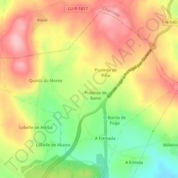
Name: Pradeda topographic map, elevation, terrain.
Location: Pradeda, Carballedo, Chantada, Lugo, Galicia, Spain (42.54707 -7.82930 42.57069 -7.79413)
Average elevation: 670 m
Minimum elevation: 579 m
Maximum elevation: 745 m