
Ciergnon topographic map
Interactive map
Click on the map to display elevation.
About this map
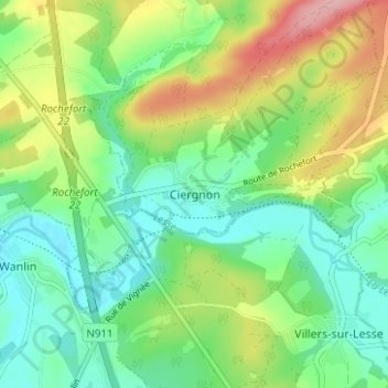
Name: Ciergnon topographic map, elevation, terrain.
Location: Ciergnon, Houyet, Dinant, Namur, Wallonie, 5560, Belgique (50.14665 5.06991 50.18665 5.10991)
Average elevation: 173 m
Minimum elevation: 125 m
Maximum elevation: 265 m