
Bayog topographic map
Interactive map
Click on the map to display elevation.
About this map
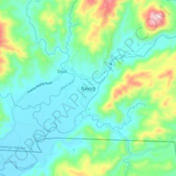
Name: Bayog topographic map, elevation, terrain.
Location: Bayog, Zamboanga del Sur, Zamboanga Peninsula, Philippines (7.80892 123.00393 7.88892 123.08393)
Average elevation: 136 m
Minimum elevation: 26 m
Maximum elevation: 485 m
The town is partly situated in the Sibougey Valley watered by the Sibuguey River, Dipili River, and Depore River. 75% of the land lies on rugged terrain with elevation up to 300 metres (980 ft).