
Bonheiden topographic map
Interactive map
Click on the map to display elevation.
About this map
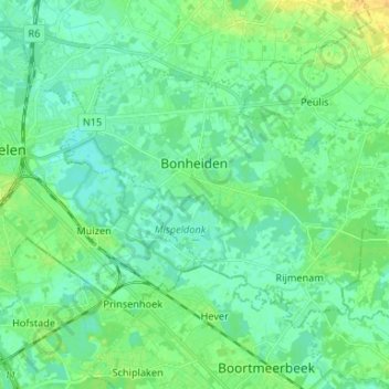
Name: Bonheiden topographic map, elevation, terrain.
Location: Bonheiden, Anvers, Flandre, 2820, Belgique (50.99014 4.50282 51.04687 4.63471)
Average elevation: 7 m
Minimum elevation: 0 m
Maximum elevation: 22 m