
Futrono topographic map
Interactive map
Click on the map to display elevation.
About this map
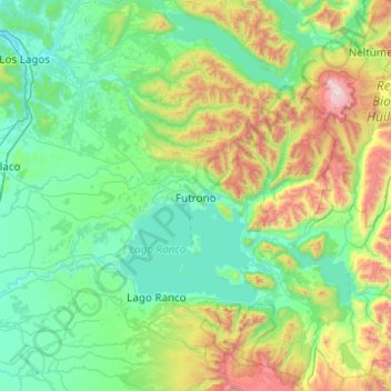
Name: Futrono topographic map, elevation, terrain.
Location: Futrono, Provincia de Ranco, Región de Los Ríos, Chile (-40.35545 -72.63696 -39.89642 -71.65610)
Average elevation: 468 m
Minimum elevation: 15 m
Maximum elevation: 2,396 m