
De Heygraeff topographic map
Interactive map
Click on the map to display elevation.
About this map
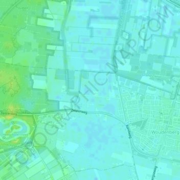
Name: De Heygraeff topographic map, elevation, terrain.
Location: De Heygraeff, Woudenberg, Utrecht, Nederland, 3931ME, Nederland (52.08392 5.39060 52.08969 5.40140)
Average elevation: 5 m
Minimum elevation: 1 m
Maximum elevation: 17 m
Other topographic maps
Click on a map to view its topography, its elevation and its terrain.
Veenplas
Nederland > Utrecht > Woudenberg
Veenplas, Oude Utrechtseweg, Woudenberg, Utrecht, Nederland, 3931MG, Nederland
Average elevation: 8 m