Geolocate

Mayom topographic map

Click on the map to display elevation.

About this map

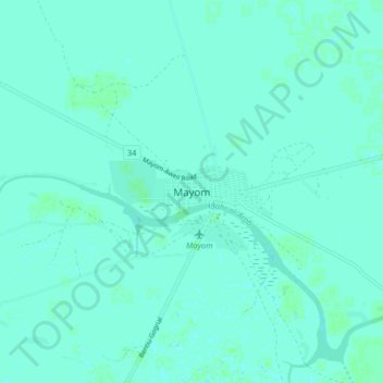
Name: Mayom topographic map, elevation, terrain.

Location: Mayom, Unity, South Sudan (9.18547 29.12507 9.26547 29.20507)

Average elevation: 395 m

Minimum elevation: 393 m

Maximum elevation: 397 m

Gear up for your next adventure:

🧥Breathable Waterproof Jackets - Essential rain protection for the unpredictable British climate
👟Heavy Duty Boot Laces - Always carry a spare for your hiking footwear
📱Phone Mounts for Hiking - Secure mounts to carry your phone on trails
📦Compression Sacks - Reduce backpack volume efficiently
🔦LED Camping Lanterns - Illumination for reading maps inside your tent at night

As an Amazon Associate, this site earns from qualifying purchases at no extra cost to you.