
Kenefic topographic map
Interactive map
Click on the map to display elevation.
About this map
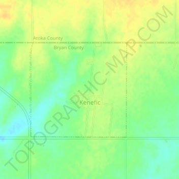
Name: Kenefic topographic map, elevation, terrain.
Location: Kenefic, Bryan County, Oklahoma, États-Unis d'Amérique (34.14291 -96.37297 34.15719 -96.35551)
Average elevation: 204 m
Minimum elevation: 190 m
Maximum elevation: 215 m