
Tickencote topographic map
Interactive map
Click on the map to display elevation.
About this map
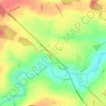
Name: Tickencote topographic map, elevation, terrain.
Location: Tickencote, Rutland, England, United Kingdom (52.65986 -0.57059 52.69479 -0.52832)
Average elevation: 66 m
Minimum elevation: 34 m
Maximum elevation: 94 m