
Liberty topographic map
Interactive map
Click on the map to display elevation.
About this map
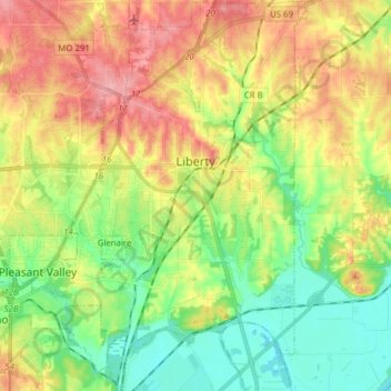
Name: Liberty topographic map, elevation, terrain.
Location: Liberty, Clay County, Missouri, United States (39.17575 -94.47972 39.29599 -94.37199)
Average elevation: 261 m
Minimum elevation: 215 m
Maximum elevation: 320 m