
Berlin Heights topographic map
Interactive map
Click on the map to display elevation.
About this map
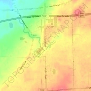
Name: Berlin Heights topographic map, elevation, terrain.
Average elevation: 232 m
Minimum elevation: 188 m
Maximum elevation: 260 m
Other topographic maps
Click on a map to view its topography, its elevation and its terrain.
Sandusky
United States > Ohio > Erie County
Sandusky, Erie County, Ohio, 44870, United States
Average elevation: 177 m
Vermilion
United States > Ohio > Erie County > Vermilion
Vermilion, Erie County, Ohio, United States
Average elevation: 192 m
Sandusky
United States > Ohio > Erie County > Sandusky > Sandusky
Sandusky, Erie County, Ohio, 44870, United States
Average elevation: 184 m