
Greux topographic map
Interactive map
Click on the map to display elevation.
About this map
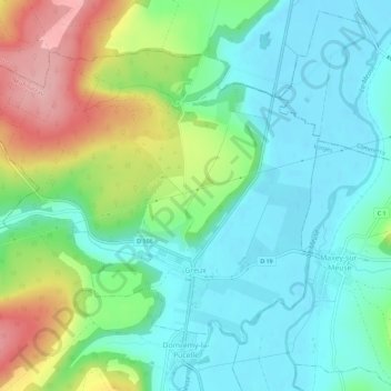
Name: Greux topographic map, elevation, terrain.
Average elevation: 309 m
Minimum elevation: 264 m
Maximum elevation: 411 m
Greux ist eine auf 270 Metern über Meereshöhe gelegene französische Gemeinde im Département Vosges in der Region Grand Est (bis 2015 Lothringen). Sie gehört zum Arrondissement Neufchâteau und zum Kanton Neufchâteau.