
Ain Kihal topographic map
Interactive map
Click on the map to display elevation.
About this map
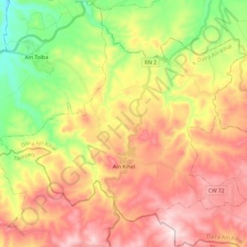
Name: Ain Kihal topographic map, elevation, terrain.
Location: Ain Kihal, Ain Kihal District, Aïn Témouchent, Algeria (35.16906 -1.27831 35.26981 -1.12294)
Average elevation: 413 m
Minimum elevation: 135 m
Maximum elevation: 689 m