
Tandel topographic map
Interactive map
Click on the map to display elevation.
About this map
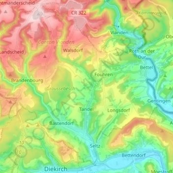
Name: Tandel topographic map, elevation, terrain.
Location: Tandel, Canton Vianden, Luxembourg (49.87073 6.10860 49.94559 6.23536)
Average elevation: 325 m
Minimum elevation: 182 m
Maximum elevation: 535 m