
Ason topographic map
Interactive map
Click on the map to display elevation.
About this map
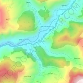
Name: Ason topographic map, elevation, terrain.
Location: Ason, Kapkot, Bageshwar, Uttarakhand, India (29.89989 79.85885 29.93989 79.89885)
Average elevation: 1,275 m
Minimum elevation: 988 m
Maximum elevation: 1,789 m