
Abweiler topographic map
Interactive map
Click on the map to display elevation.
About this map
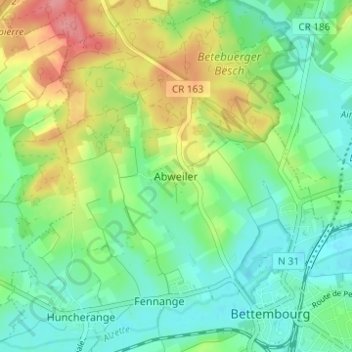
Name: Abweiler topographic map, elevation, terrain.
Location: Abweiler, Bettembourg, Canton Esch-sur-Alzette, 3311, Luxembourg (49.51298 6.06006 49.55298 6.10006)
Average elevation: 296 m
Minimum elevation: 266 m
Maximum elevation: 353 m