
Peyto Lake topographic map
Interactive map
Click on the map to display elevation.
About this map
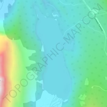
Name: Peyto Lake topographic map, elevation, terrain.
Location: Peyto Lake, Improvement District No. 9, Alberta, Kanada (51.71301 -116.52996 51.73706 -116.51393)
Average elevation: 1,996 m
Minimum elevation: 1,806 m
Maximum elevation: 2,772 m
Other topographic maps
Click on a map to view its topography, its elevation and its terrain.
Mount Rundle
Kanada > Alberta > Improvement District No. 9
Mount Rundle, Improvement District No. 9, Alberta, Kanada
Average elevation: 2,353 m
Johnston Canyon
Kanada > Alberta > Improvement District No. 9
Johnston Canyon, Improvement District No. 9, Alberta, Kanada
Average elevation: 1,572 m