
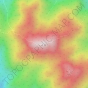
Bukit Kutu topographic map
Interactive map
Click on the map to display elevation.
About this map
Name: Bukit Kutu topographic map, elevation, terrain.
Average elevation: 759 m
Minimum elevation: 354 m
Maximum elevation: 1,045 m
Other topographic maps
Click on a map to view its topography, its elevation and its terrain.
Sungai Chiling
Malaysia > Selangor > Kuala Kubu Bharu
Sungai Chiling, Kuala Kubu Bharu, Hulu Selangor, Selangor, Malaysia
Average elevation: 444 m
Selangor River
Malaysia > Selangor > Kuala Kubu Bharu
Selangor River, Kuala Kubu Bharu, Hulu Selangor, Selangor, Malaysia
Average elevation: 227 m
Sungai Rening
Malaysia > Selangor > Kuala Kubu Bharu
Sungai Rening, Kuala Kubu Bharu, Hulu Selangor, Selangor, Malaysia
Average elevation: 224 m