
Rørvik topographic map
Interactive map
Click on the map to display elevation.
About this map
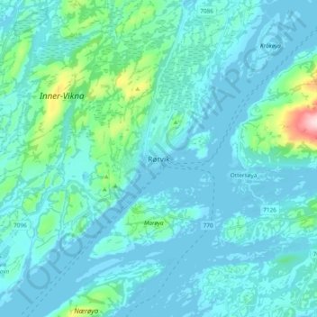
Name: Rørvik topographic map, elevation, terrain.
Location: Rørvik, Vikna, Trøndelag, Noruega (64.82230 11.19465 64.90230 11.27465)
Average elevation: 30 m
Minimum elevation: -3 m
Maximum elevation: 275 m