
Rogat topographic map
Interactive map
Click on the map to display elevation.
About this map
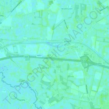
Name: Rogat topographic map, elevation, terrain.
Location: Rogat, Meppel, Drente, Niederlande (52.68249 6.23389 52.69042 6.28385)
Average elevation: 3 m
Minimum elevation: 0 m
Maximum elevation: 6 m
Other topographic maps
Click on a map to view its topography, its elevation and its terrain.