
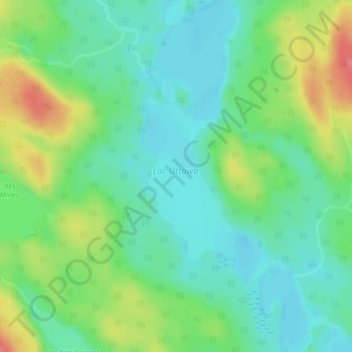
Lac Ottawa topographic map
Interactive map
Click on the map to display elevation.
About this map
Name: Lac Ottawa topographic map, elevation, terrain.
Average elevation: 423 m
Minimum elevation: 398 m
Maximum elevation: 472 m
Other topographic maps
Click on a map to view its topography, its elevation and its terrain.
Lac Bitobi
Canada > Québec > Mékinac > Rivière-de-la-Savane
Lac Bitobi, Rivière-de-la-Savane, Mékinac, Mauricie, Québec, Canada
Average elevation: 392 m