Geolocate

Lucap topographic map

Click on the map to display elevation.

About this map
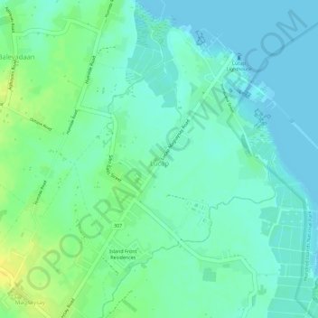
Name: Lucap topographic map, elevation, terrain.

Location: Lucap, Alaminos, Pangasinan, Ilocos Region, Philippines (16.17179 119.98937 16.19622 120.00723)

Average elevation: 9 m

Minimum elevation: 0 m

Maximum elevation: 24 m

Gear up for your next adventure:

🛰️Handheld GPS Devices - Reliable GPS units for hiking and outdoor navigation
⌚GPS Outdoor Watches - Watches with GPS tracking for hiking and exploration
🔦Waterproof LED Headlamps - Hands-free lighting for evening treks and emergency navigation
🧼Technical Clothing Wash - Special soap to clean and restore waterproof membranes
🔪Outdoor Multi-Tools - Versatile tools for gear repairs and food prep in the wild

As an Amazon Associate, this site earns from qualifying purchases at no extra cost to you.