
Halkirk topographic map
Interactive map
Click on the map to display elevation.
About this map
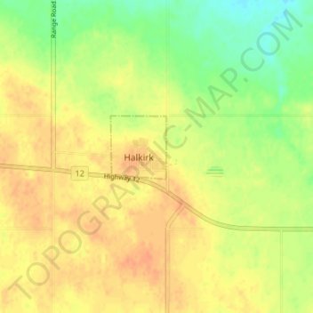
Name: Halkirk topographic map, elevation, terrain.
Location: Halkirk, County of Paintearth, Alberta, Canada (52.26333 -112.17000 52.30333 -112.13000)
Average elevation: 827 m
Minimum elevation: 806 m
Maximum elevation: 840 m