
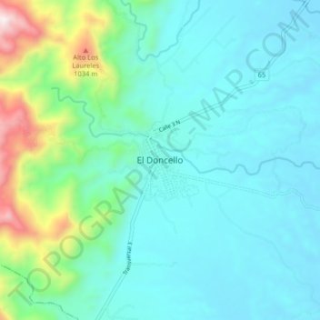
El Doncello topographic map
Interactive map
Click on the map to display elevation.
About this map
Name: El Doncello topographic map, elevation, terrain.
Location: El Doncello, Caquetá, Colombia (1.64159 -75.32446 1.72159 -75.24446)
Average elevation: 464 m
Minimum elevation: 276 m
Maximum elevation: 1,296 m