
Lupembe topographic map
Interactive map
Click on the map to display elevation.
About this map
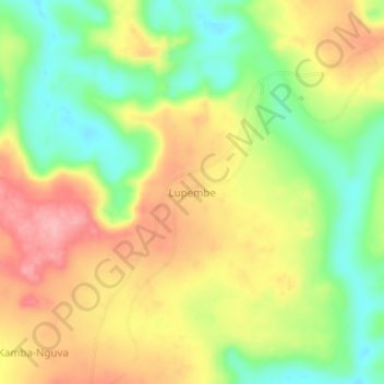
Name: Lupembe topographic map, elevation, terrain.
Location: Lupembe, Kasai, DR Congo (-6.18667 21.14667 -6.14667 21.18667)
Average elevation: 650 m
Minimum elevation: 587 m
Maximum elevation: 714 m