Geolocate

Germano topographic map

Click on the map to display elevation.

About this map

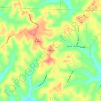
Name: Germano topographic map, elevation, terrain.

Location: Germano, Harrison County, Ohio, 43986, United States (40.38840 -80.96704 40.42840 -80.92704)

Average elevation: 369 m

Minimum elevation: 325 m

Maximum elevation: 413 m

Other topographic maps

Click on a map to view its topography, its elevation and its terrain.

Deersville

United States > Ohio > Harrison County > Deersville

Average elevation: 341 m

Gear up for your next adventure:

🕶️Polarized Sunglasses - Reduces glare from snow and water when reading terrain
🔋Power Banks - Portable chargers for long outdoor trips
🧤Hiking Gloves - Warm and durable gloves for cold-weather walks
🌦️Portable Weather Meters - Handheld tools for monitoring weather conditions
🗺️Ordnance Survey Maps - Official UK maps for walking and outdoor activities

As an Amazon Associate, this site earns from qualifying purchases at no extra cost to you.