
Dothan topographic map
Click on the map to display elevation.
About this map
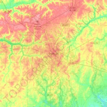
Name: Dothan topographic map, elevation, terrain.
Location: Dothan, Houston County, Alabama, 36303-5834, United States (31.06374 -85.55339 31.38374 -85.23339)
Average elevation: 83 m
Minimum elevation: 38 m
Maximum elevation: 128 m