
Pella topographic map
Interactive map
Click on the map to display elevation.
About this map
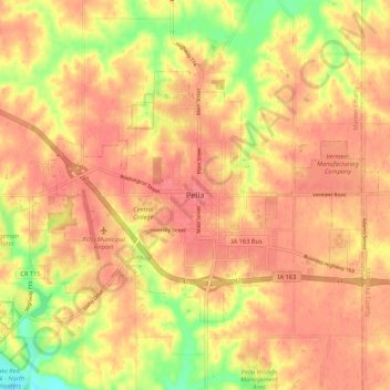
Name: Pella topographic map, elevation, terrain.
Location: Pella, Marion County, Iowa, 50219, Estados Unidos da América (41.36731 -92.95741 41.44731 -92.87741)
Average elevation: 253 m
Minimum elevation: 209 m
Maximum elevation: 273 m