
Boonda topographic map
Interactive map
Click on the map to display elevation.
About this map
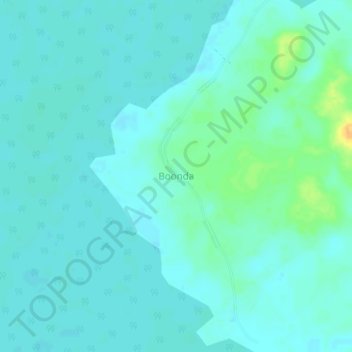
Name: Boonda topographic map, elevation, terrain.
Location: Boonda, Tshuapa, Democratische Republiek Congo (-0.34539 20.80028 -0.30539 20.84028)
Average elevation: 335 m
Minimum elevation: 329 m
Maximum elevation: 360 m