
Pusa topographic map
Interactive map
Click on the map to display elevation.
About this map
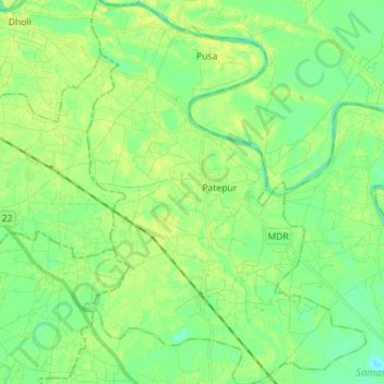
Name: Pusa topographic map, elevation, terrain.
Location: Pusa, Samastipur, Bihar, India (25.87660 85.62884 26.00409 85.73318)
Average elevation: 50 m
Minimum elevation: 41 m
Maximum elevation: 59 m