
Maxharrë topographic map
Interactive map
Click on the map to display elevation.
About this map
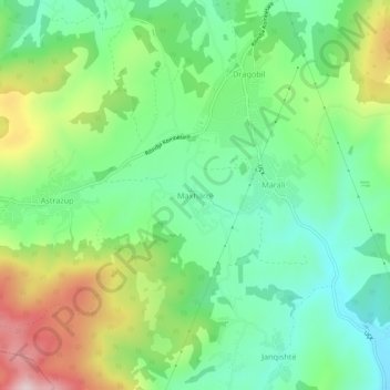
Name: Maxharrë topographic map, elevation, terrain.
Location: Maxharrë, Municipality of Mališevo, 24000, Kosovo (42.42856 20.69897 42.46856 20.73897)
Average elevation: 614 m
Minimum elevation: 479 m
Maximum elevation: 868 m