
Diphoorn topographic map
Interactive map
Click on the map to display elevation.
About this map
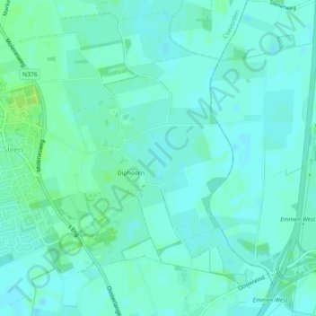
Name: Diphoorn topographic map, elevation, terrain.
Location: Diphoorn, Coevorden, Drente, Niederlande (52.76268 6.81165 52.78054 6.83423)
Average elevation: 17 m
Minimum elevation: 13 m
Maximum elevation: 24 m
Other topographic maps
Click on a map to view its topography, its elevation and its terrain.
Wachtum
Niederlande > Drente > Coevorden
Wachtum, Coevorden, Drente, Niederlande
Average elevation: 13 m