
Carvoeiro topographic map
Interactive map
Click on the map to display elevation.
About this map
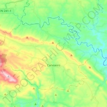
Name: Carvoeiro topographic map, elevation, terrain.
Location: Carvoeiro, Mação, Santarém, Médio Tejo, Mitte, Portugal (39.60086 -7.99238 39.66849 -7.86541)
Average elevation: 309 m
Minimum elevation: 149 m
Maximum elevation: 641 m