
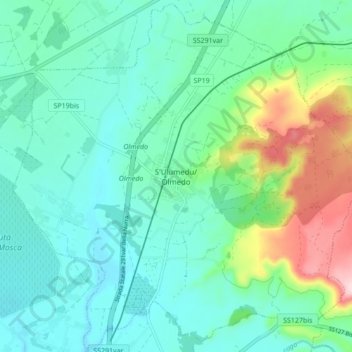
S'Ulumedu/Olmedo topographic map
Interactive map
Click on the map to display elevation.
About this map
Name: S'Ulumedu/Olmedo topographic map, elevation, terrain.
Location: S'Ulumedu/Olmedo, SS, Cerdeña, 07040, Italia (40.61967 8.34027 40.68363 8.42618)
Average elevation: 68 m
Minimum elevation: 7 m
Maximum elevation: 266 m