
Bronckhorst topographic map
Interactive map
Click on the map to display elevation.
About this map
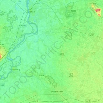
Name: Bronckhorst topographic map, elevation, terrain.
Location: Bronckhorst, Gelderland, Nederland (51.96798 6.11081 52.13771 6.47577)
Average elevation: 13 m
Minimum elevation: 1 m
Maximum elevation: 51 m
Other topographic maps
Click on a map to view its topography, its elevation and its terrain.
Hummelo
Nederland > Gelderland > Bronckhorst
Hummelo, Bronckhorst, Gelderland, Nederland
Average elevation: 12 m