
Slanje topographic map
Interactive map
Click on the map to display elevation.
About this map
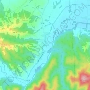
Name: Slanje topographic map, elevation, terrain.
Location: Slanje, Varaždin County, 42232, Croatia (46.21258 16.52726 46.25258 16.56726)
Average elevation: 200 m
Minimum elevation: 151 m
Maximum elevation: 340 m