
Lac Whitton topographic map
Interactive map
Click on the map to display elevation.
About this map
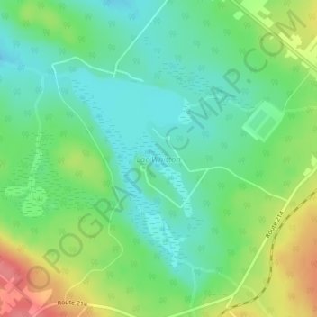
Name: Lac Whitton topographic map, elevation, terrain.
Location: Lac Whitton, Nantes, Le Granit, Estrie, Québec, Canada (45.61856 -71.05822 45.63413 -71.04327)
Average elevation: 494 m
Minimum elevation: 466 m
Maximum elevation: 544 m