
Kaluaggala topographic map
Interactive map
Click on the map to display elevation.
About this map
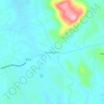
Name: Kaluaggala topographic map, elevation, terrain.
Location: Kaluaggala, Gampaha District, Western Province, Sri Lanka (7.21718 80.06593 7.25718 80.10593)
Average elevation: 61 m
Minimum elevation: 27 m
Maximum elevation: 233 m