
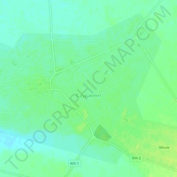
Саудакент topographic map
Interactive map
Click on the map to display elevation.
About this map
Name: Саудакент topographic map, elevation, terrain.
Location: Саудакент, Sarysu District, Jambyl Region, Kazakhstan (43.72437 69.90195 43.74826 69.94056)
Average elevation: 339 m
Minimum elevation: 332 m
Maximum elevation: 346 m