
Calles topographic map
Interactive map
Click on the map to display elevation.
About this map
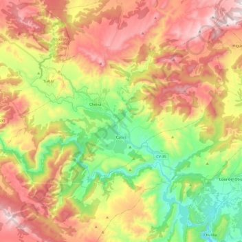
Name: Calles topographic map, elevation, terrain.
Location: Calles, La Serranía, Valencia, Valencian Community, Spain (39.65100 -1.05778 39.82201 -0.88226)
Average elevation: 677 m
Minimum elevation: 241 m
Maximum elevation: 1,151 m
Other topographic maps
Click on a map to view its topography, its elevation and its terrain.