
Lapeer Township topographic map
Interactive map
Click on the map to display elevation.
About this map
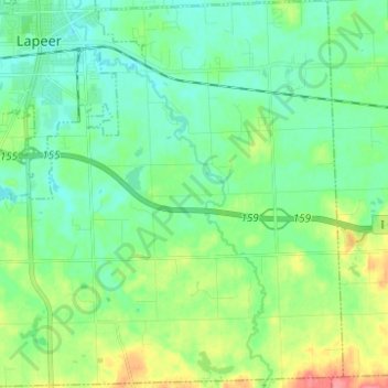
Name: Lapeer Township topographic map, elevation, terrain.
Location: Lapeer Township, Lapeer County, Michigan, United States (42.97043 -83.34189 43.06086 -83.22161)
Average elevation: 266 m
Minimum elevation: 247 m
Maximum elevation: 312 m
Other topographic maps
Click on a map to view its topography, its elevation and its terrain.
Dryden
United States > Michigan > Lapeer County
Dryden, Dryden Township, Lapeer County, Michigan, United States
Average elevation: 281 m
Hadley
United States > Michigan > Lapeer County
Hadley, Hadley Township, Lapeer County, Michigan, 48440, United States
Average elevation: 274 m