
Neamatpur topographic map
Interactive map
Click on the map to display elevation.
About this map
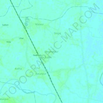
Name: Neamatpur topographic map, elevation, terrain.
Location: Neamatpur, Barsoi, Katihar, Bihar, India (25.70831 87.86556 25.74831 87.90556)
Average elevation: 34 m
Minimum elevation: 31 m
Maximum elevation: 39 m